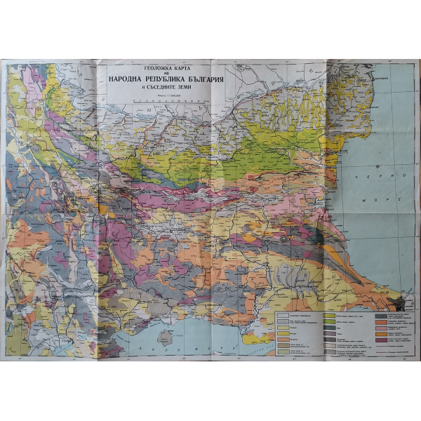
Geological map of the People's Republic of Bulgaria
- A geological map is a type of map that shows the geological terrain and structure of certain sections of the surface of the earth's crust. Each of the elements is depicted with a color or symbol to indicate where it is located. Bedrock and structural features such as faults, folds, foliations, and lineations are represented by certain "stretch and dip" symbols, giving these features a three-dimensional orientation.
- • Size: 46 х 64 см


---30-te-59906-0-220x300.png)
---1938-57178-0-0-220x300.png)
---1960-57821-0-220x300.png)


